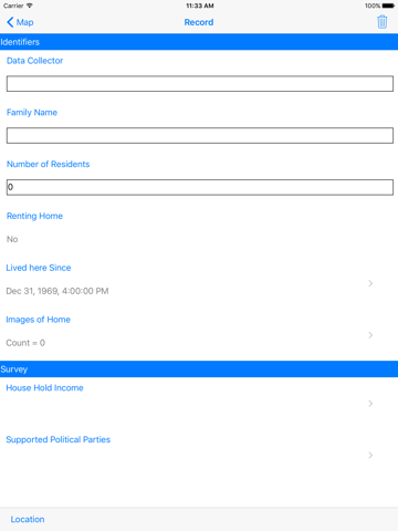
This application was developed as part of a National Institute of Standards and Technology (NIST) Fire Research Grant to Geospatial Measurement Solutions, LLC. iGeoData addresses the need for electronic data collection for WUI and wild land environments by those not trained in geospatial science and technology. An associated application, iGeoSchema can be used to create custom data collection schemas that can be distributed and loaded to the iGeoData application. Some predesigned data collection schemas are available for performing WUI Homeowner Structure Mapping, Fire/Smoke Behavior Observations, First Responder Actions and a NIST WUI 1 Assessment. While this application was developed with WUI and wildland fire data collection in mind, any custom data collection schema can be implemented.

